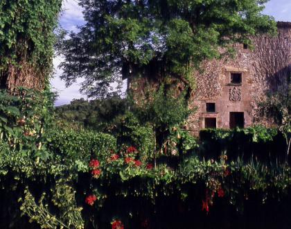
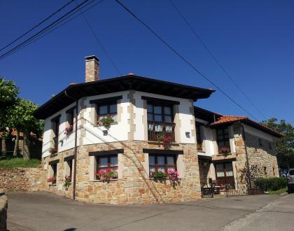
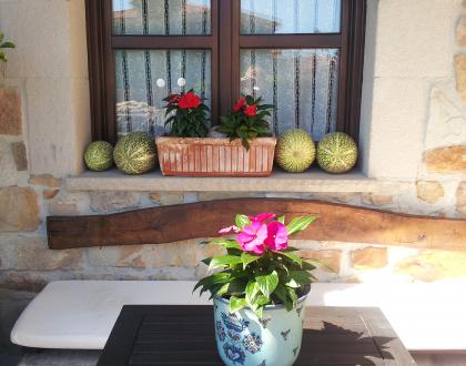
Tiu Xico. Casa de Aldea Compartida


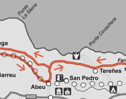
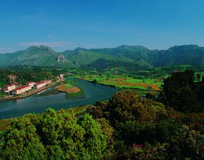
11 km, 3h, maximum difference in height: 150m, difficulty: low, without signaling
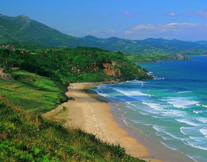
GPS coordinates lighthouse N 43º 28. 348 ', W 5º 04. 943'
GPS coordinates crossing Camino de Santiago with Abéu N 43º 28. 469 '- W 5º 07.550'
Suitable for bicycle.
11 km, 3h, maximum difference in height: 150m, difficulty: low, without signaling
GPS coordinates lighthouse N 43º 28. 348 ', W 5º 04. 943'
GPS coordinates crossing Camino de Santiago with Abéu N 43º 28. 469 '- W 5º 07.550'
Suitable for bicycle.
Fishing has historically been Ribadesella’s main industry. During the 20th century Ribadesella was one of the most important fishing harbours in the Cantabrian coast, so several canning factories were established here. Tuna, anchovy, sardine, bream, hake... were the usual species intensively captured and canned for decades. In the river salmon and elver were abundant as well. Today things are quite different, and Fishing has become a sustainable supporting industry. As a result, fishermen’s captures mainly focus in shellfish and near shore fish.
Fishing has historically been Ribadesella’s main industry. During the 20th century Ribadesella was one of the most important fishing harbours in the Cantabrian coast, so several canning factories were established here. Tuna, anchovy, sardine, bream, hake... were the usual species intensively captured and canned for decades. In the river salmon and elver were abundant as well. Today things are quite different, and Fishing has become a sustainable supporting industry. As a result, fishermen’s captures mainly focus in shellfish and near shore fish.
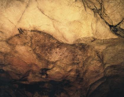
Lately, dissemination and protection of Palaeolithic heritage are being main reasons to create museums and replicas beside the principal Cave Art sites in the world. The novel permanent exhibition in Tito Bustillo Cave Art Centre is the result of a daring effort to offer Prehistory to visitors on a catchy way. As you will see, the whole conception of the exhibition displayed inside is combining serious academic rigour with varied attractive museistic proposals.
Lately, dissemination and protection of Palaeolithic heritage are being main reasons to create museums and replicas beside the principal Cave Art sites in the world. The novel permanent exhibition in Tito Bustillo Cave Art Centre is the result of a daring effort to offer Prehistory to visitors on a catchy way. As you will see, the whole conception of the exhibition displayed inside is combining serious academic rigour with varied attractive museistic proposals.
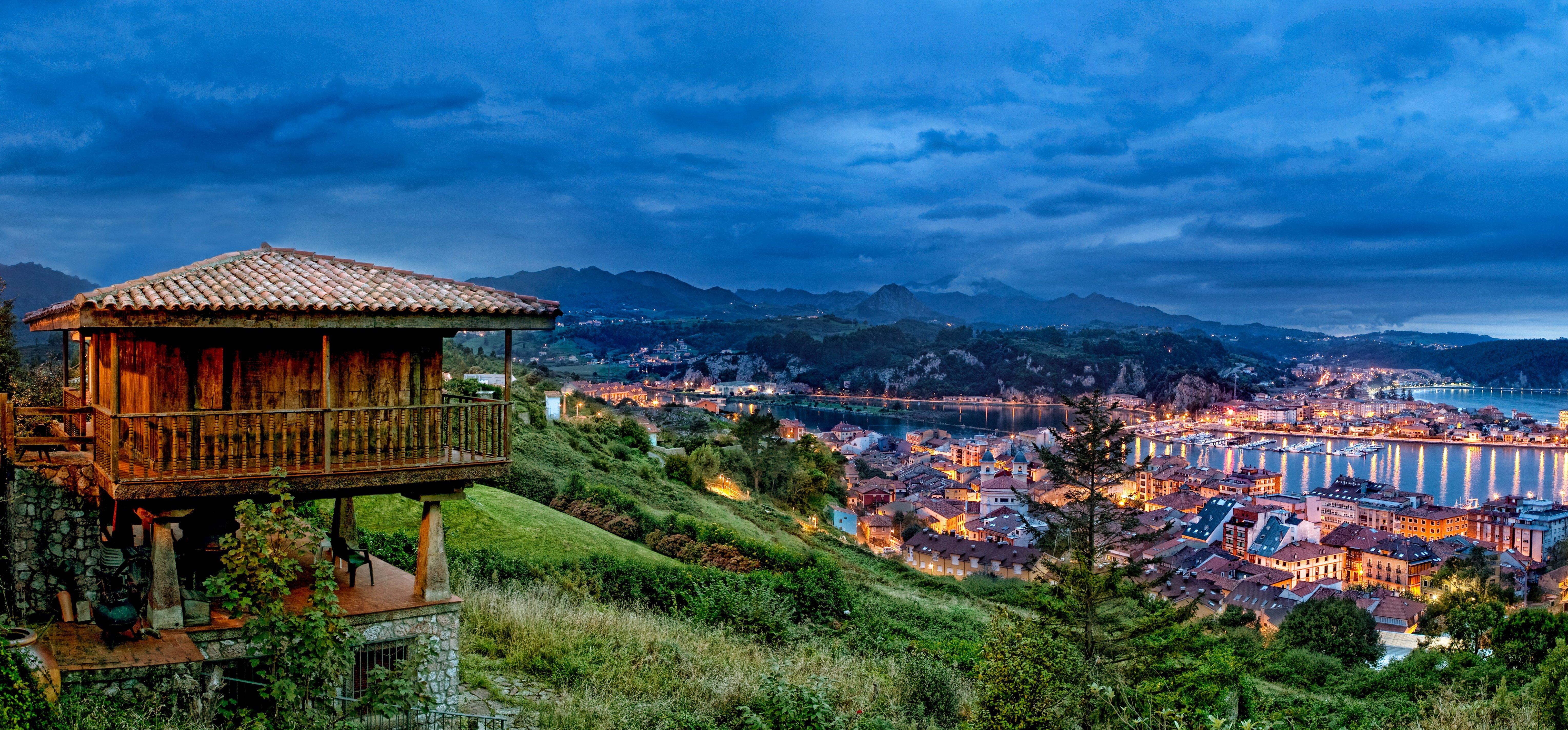
Tito Bustillo Cave is a part of the Ardines massif: a calcareous stone formation placed by the estuary of the Sella River. Pozu’l Ramu is the name of the crack on the top of the massif that was used in 1968 by Tito Bustillo’s expedition to discover this cave.
With Lascaux and Altamira caves, this site is considered one of the most important centres with Palaeolithic Cave Art in the French-Cantabrian area. In fact, the UNESCO included this cave in its World Heritage Site’s List in 2008.